Ingles
Useful maps and apps to help you navigate the city
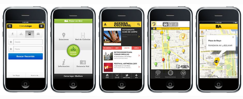
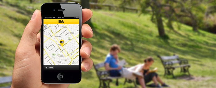
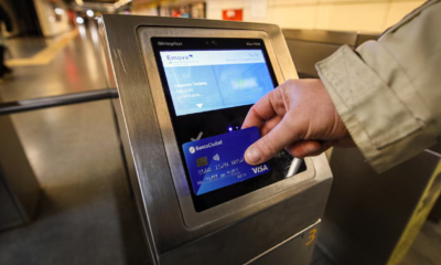
BA Cómo llego? (How do I get there?)
This interactive online map will help you get from A to B in the city, whether on public
transport, by car or on foot.
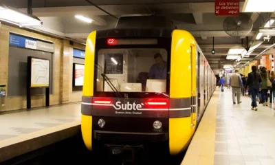
Subte (Subway)
A detailed map of the subte network, with addresses and information on services for each subte station. You can also download a subte map from this same site (click ‘descargar el mapa’).
Bus
The ubiquitous ‘colectivo’ or ‘bondi’ is the cheapest way to get around the city. Use theComo llego? site to help you work out which bus to take for your journey. Another option is to buy a ‘Guia T’ (paperback map and bus guide) from any street kiosko, an essential if you’re planning on regularly using the bus network.

EcoBici
This mobile application is for all bicycle users in the city. It maps out bicycles lanes, and shows the locations and availability of city bikes for hire. For a map of bicycle lanes in the city, please go to the Eco-Bici website.
BA Móvil
Keep updated on the transport situation in real time on your smartphone.
BA WiFi
The City Government has installed free WiFi in hundreds of central hotspots. Download the application to find out where.


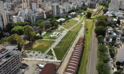

Boom inmobiliario en Colegiales: De playón ferroviario a polo residencial premium
Descubrí el boom inmobiliario en Colegiales. El nuevo Parque Ferroviario impulsa la venta de departamentos en pozo desde u$s 3.200...
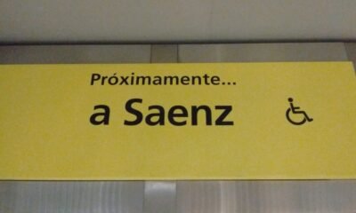

Estación Sáenz de la línea H: El proyecto clave que sigue aplazado sin fecha
La construcción de la estación Sáenz de la línea H en Pompeya continúa paralizada. Conocé los motivos técnicos y políticos...
Feria del Libro de Buenos Aires: Postulada al Premio Princesa de Asturias en su 50° aniversario
En su 50° aniversario, la Feria del Libro de Buenos Aires fue postulada al Premio Princesa de Asturias. Conocé los...


Alerta: El Gobierno porteño suspendió los shows de La Renga en Huracán
El Gobierno de la Ciudad suspendió los recitales de La Renga en el estadio de Huracán por razones de seguridad...


Cayó una viuda negra en Lomas de Zamora: La detuvieron por drogar y robar a un hombre
La Policía de la Ciudad detuvo a una viuda negra en Lomas de Zamora. Conocé el modus operandi con clonazepam...
-
 Turismohace 11 años
Arquitectura: la asombrosa mezcla de estilos de Buenos Aires
-
 Ahorahace 8 años
La historia del Cabildo, un monumento mutilado
-
 Circuitoshace 11 años
Catalinas Sur, un encantador barrio de La Boca
-
 Circuitoshace 10 años
De barrio obrero a joya de Barracas: la historia del elegante Monseñor Espinosa
-
 Turismohace 11 años
La historia del lujoso Edificio Estrugamou de Buenos Aires
-
 Saludablehace 11 años
Conocé la planta que regenera el hígado
-
 Turismohace 8 años
La imperdible colección de esculturas del Jardín Botánico
-
 Circuitoshace 11 años
Barrio Rawson, un secreto en Buenos Aires